Раздел "Книжарница" ви представя набор от книги, учебници, списания и всички необходими аксесоари за книги, които ще направят удоволствието от четенето още по-голямо.
Тук ще намерите голямо разнообразие от
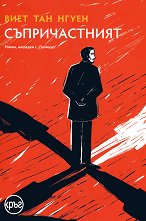
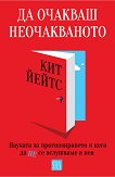
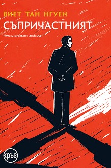
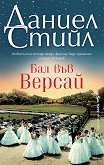
художествена литература - български и преводни романи, поезия, публицистика и биографии. Ежедневно ви представяме най-новите и хитови заглавия на автори като
Е. Л. Джеймс и Хорхе Букай. А в секцията ни за "Очаквани нови заглавия", всички
предстоящи издания могат да бъдат поръчани предварително, за да бъдете едни от първите, които ще прочетат дългоочакваните книги.
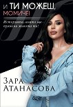
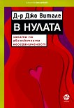
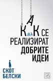
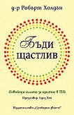
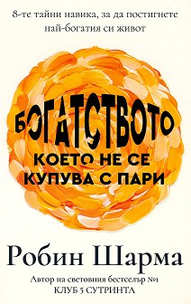
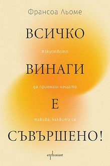
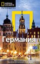
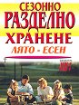
Освен това, направете с лекота вашия информиран избор от многообразието на научно-популярна, бизнес, юридическа и специализирана литература. За заинтересованите от самопознание и самоусъвършенстване, подходящите заглавия са групирани в секция "Психология и философия". А в "За дома и семейството" ще намерите множество от кулинарни книги, книги за жената, специални издания със съвети за родители и наръчници за отглеждане на домашни любимци. Читателите, които искат да научат повече за добрата грижа за своето здраве пък, могат да намерят заглавия като "Радостта от храненето" и автори като проф. Мермерски в секцията "Хранене и здраве".
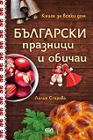
В раздел "Книжарница" ще намерите също и книги за езотерика, религии, астрология и източна мъдрост. За малките читатели е специално обособената секция за
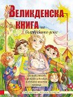
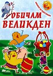
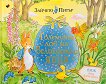
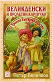
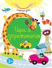
детска литература, включваща приказки на обичани български и чуждестранни автори, книжки с гатанки, игри и стикери. Освен книги ще откриете и периодични популярни и специализирани издания, засега само без вестници от новинарската преса, на почти всяка тема.
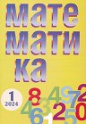
В помощ на ученика, родителя и учителя ще откриете
учебници и помагала за всички класове, съобразени с последните изискванията и промени на МОН, за профилираните гимназии, за зрелостниците и студентите.